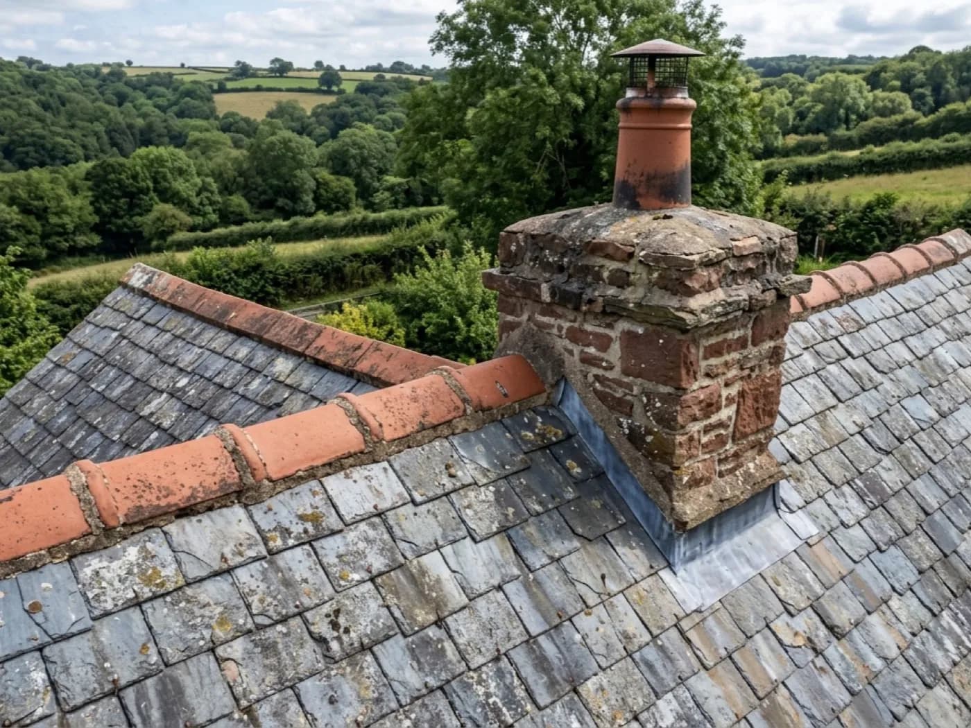
Drone Roof Survey
The core service. Every roof slope photographed from the air, written up and with you inside 48 hours, wherever in the county the roof is.
Roof surveyOne surveyor, the whole county
Based in Exeter and booked out across the county and the wider South West. Travel is inside the fixed price, and the next available slot is usually closer than a national firm can manage.
The actual problem
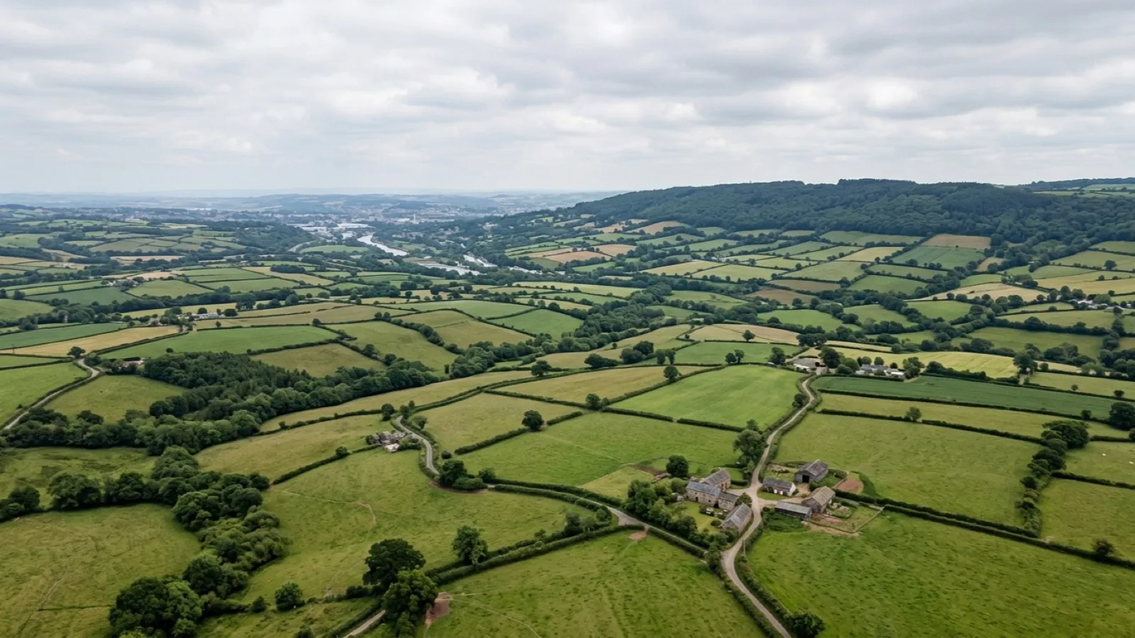
Search for a drone survey and most of what comes back is a national booking desk. You put in a postcode, a job gets posted, and whoever on their list is nearest picks it up. Sometimes that works out fine. Sometimes it means a two hour round trip is quietly built into the price, or the pilot on the day has never flown in the county before.
Devon is a big county to cover well. A survey in Ilfracombe and a survey in Salcombe are the best part of a hundred miles apart, and a firm that treats the whole of the South West as one undifferentiated territory usually shows it in the price or the wait.
This site exists for one job: a Devon based surveyor who actually covers the county, with travel built into a fixed price rather than added on afterwards, and a next available slot that reflects being based here rather than being routed here.
What we fly
The core service. Every roof slope photographed from the air, written up and with you inside 48 hours, wherever in the county the roof is.
Roof survey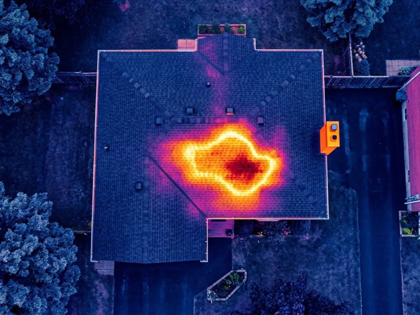
A radiometric thermal camera added to the flight, for tracing an active leak or reading heat loss anywhere in the coverage area.
Thermal survey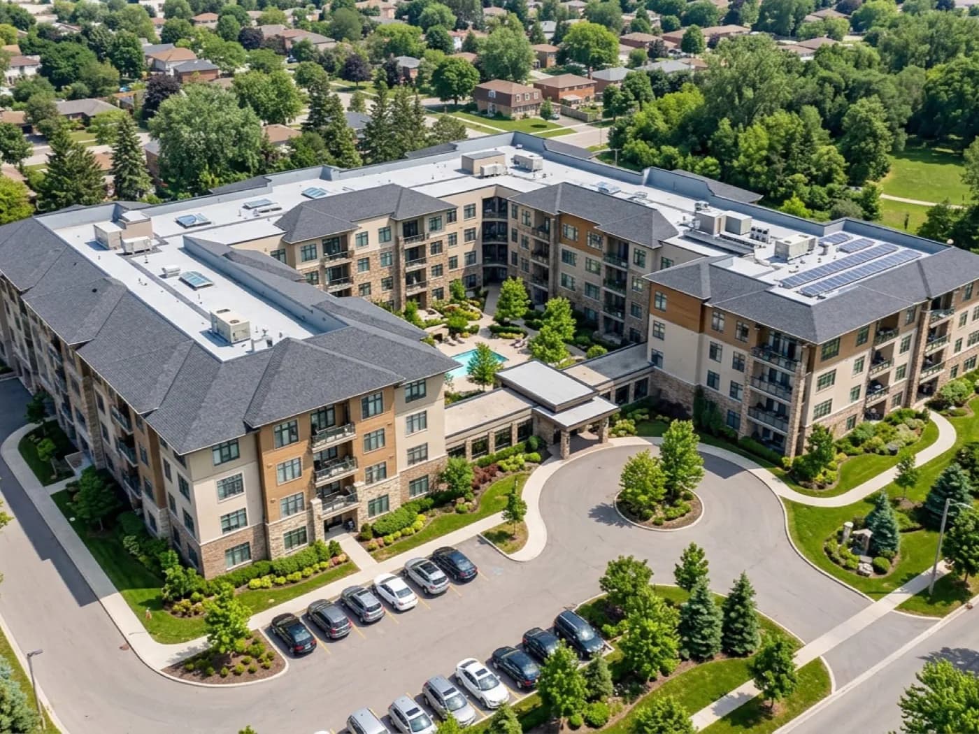
A wider aerial look at a building, not roof only: elevations, grounds and outbuildings in one visit, covered anywhere in the county.
Building inspection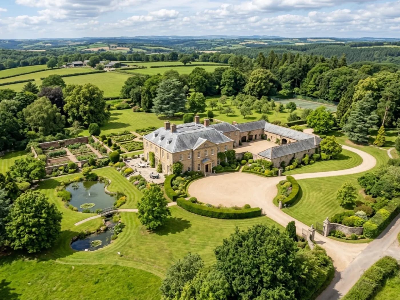
100 megapixel stills and 6K video from the Mavic 4 Pro, for anyone who wants the images rather than a survey report.
Aerial photographyCredentials
Working from Exeter and covering the whole of Devon, plus the nearest towns across the Cornwall, Somerset and Dorset borders. Travel is inside the fixed price.
Operator ID and Flyer ID held, plus the A2 Certificate of Competency. Every flight is planned to the rules that apply to the site, wherever in the coverage area it is.
A DJI Mavic 4 Pro with a Hasselblad camera and 6K video. The resolution that lets a survey stand off a building at a safe distance and still show real detail.
Full commercial cover for the operation. Certificates go to managing agents, committees and insurers as a matter of course.
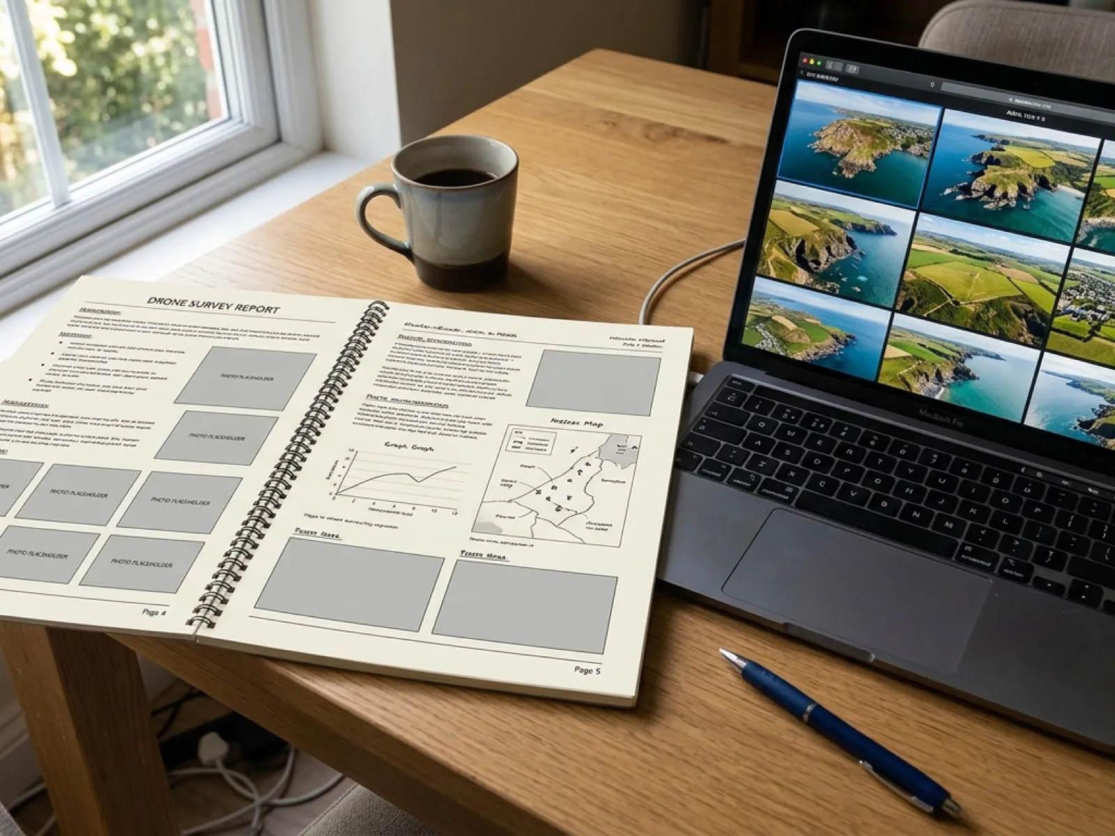
What you get
The coverage area
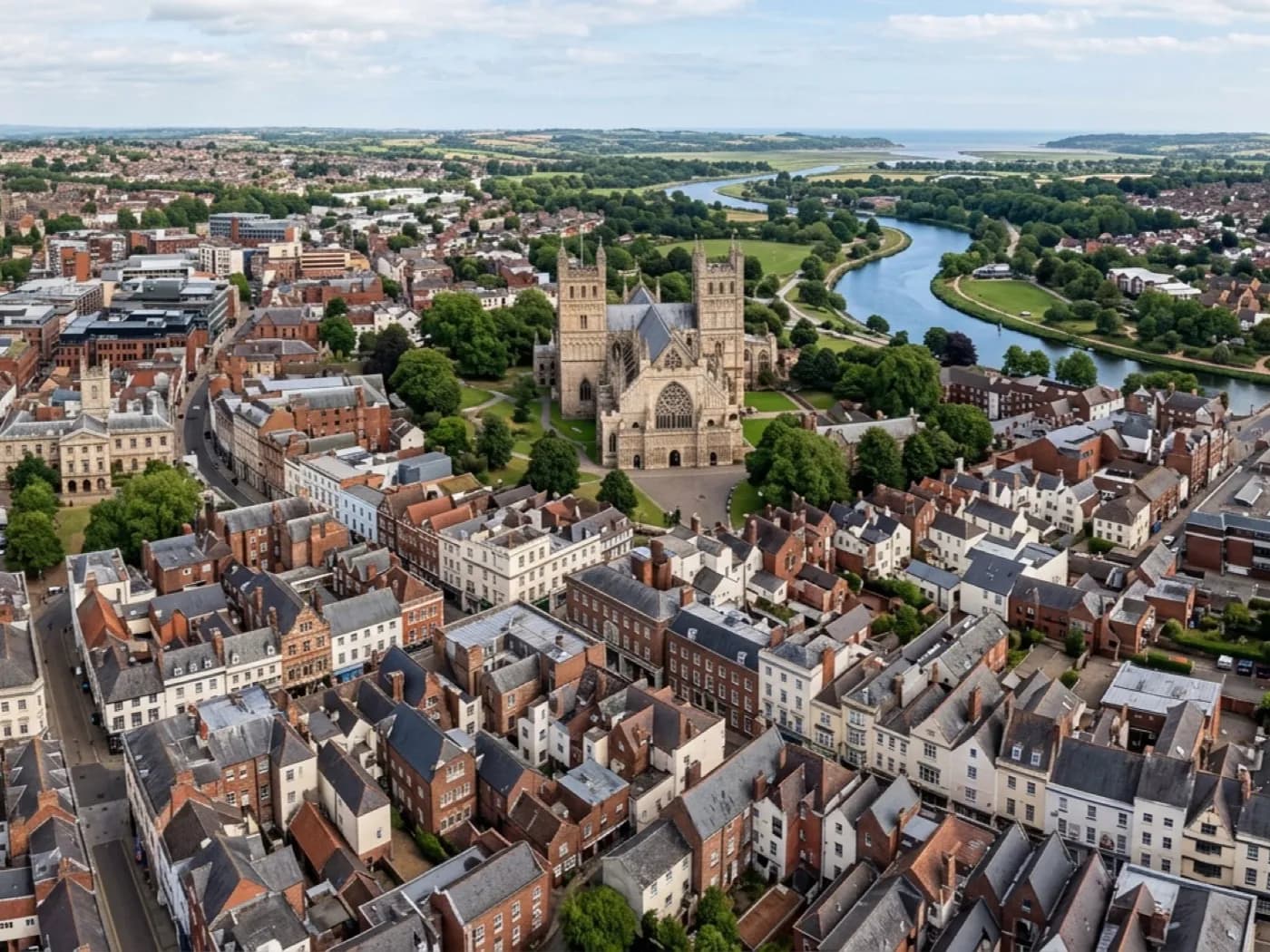
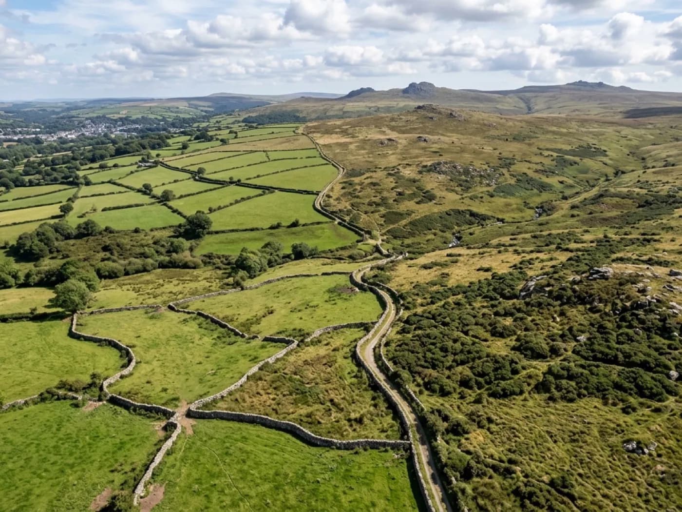
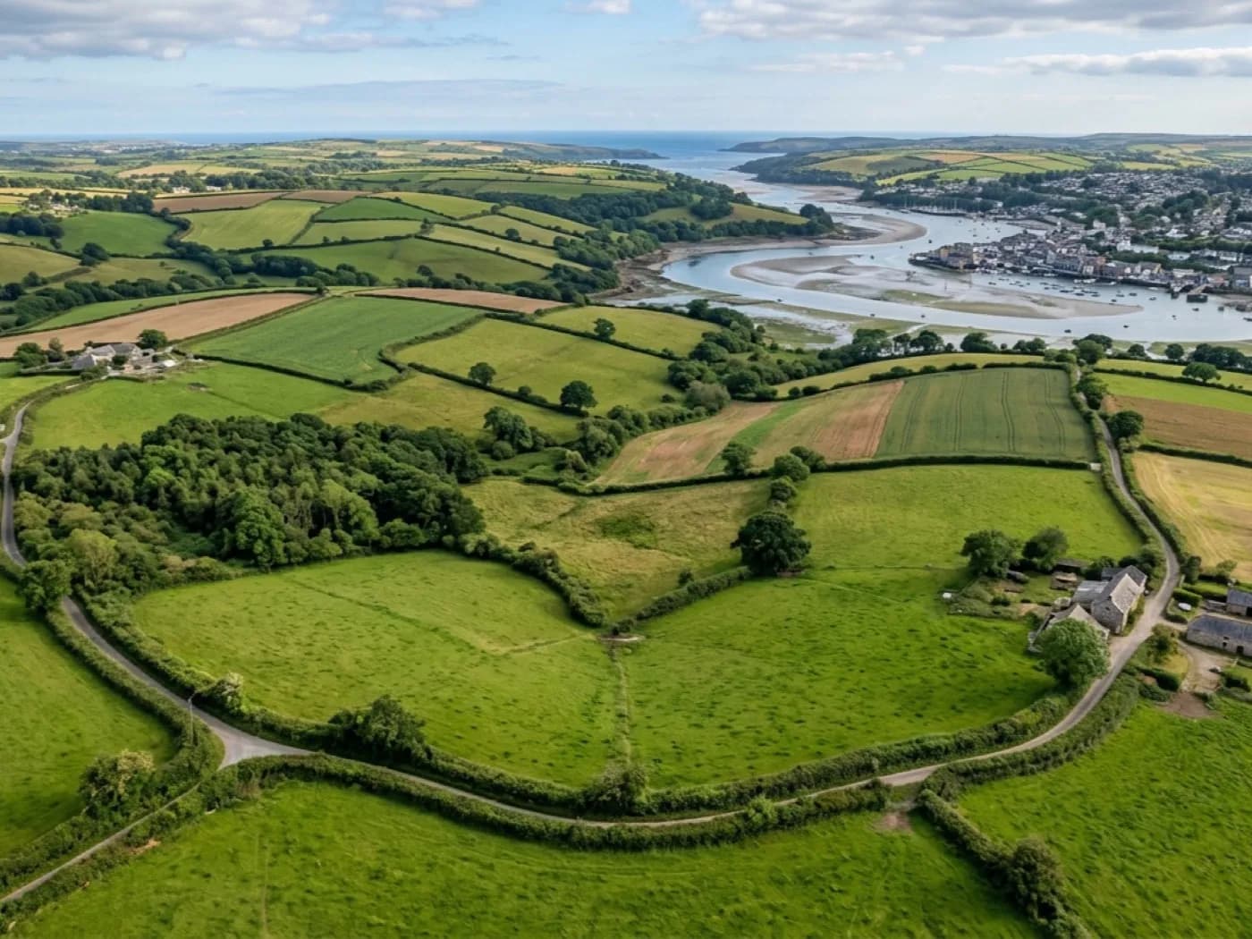
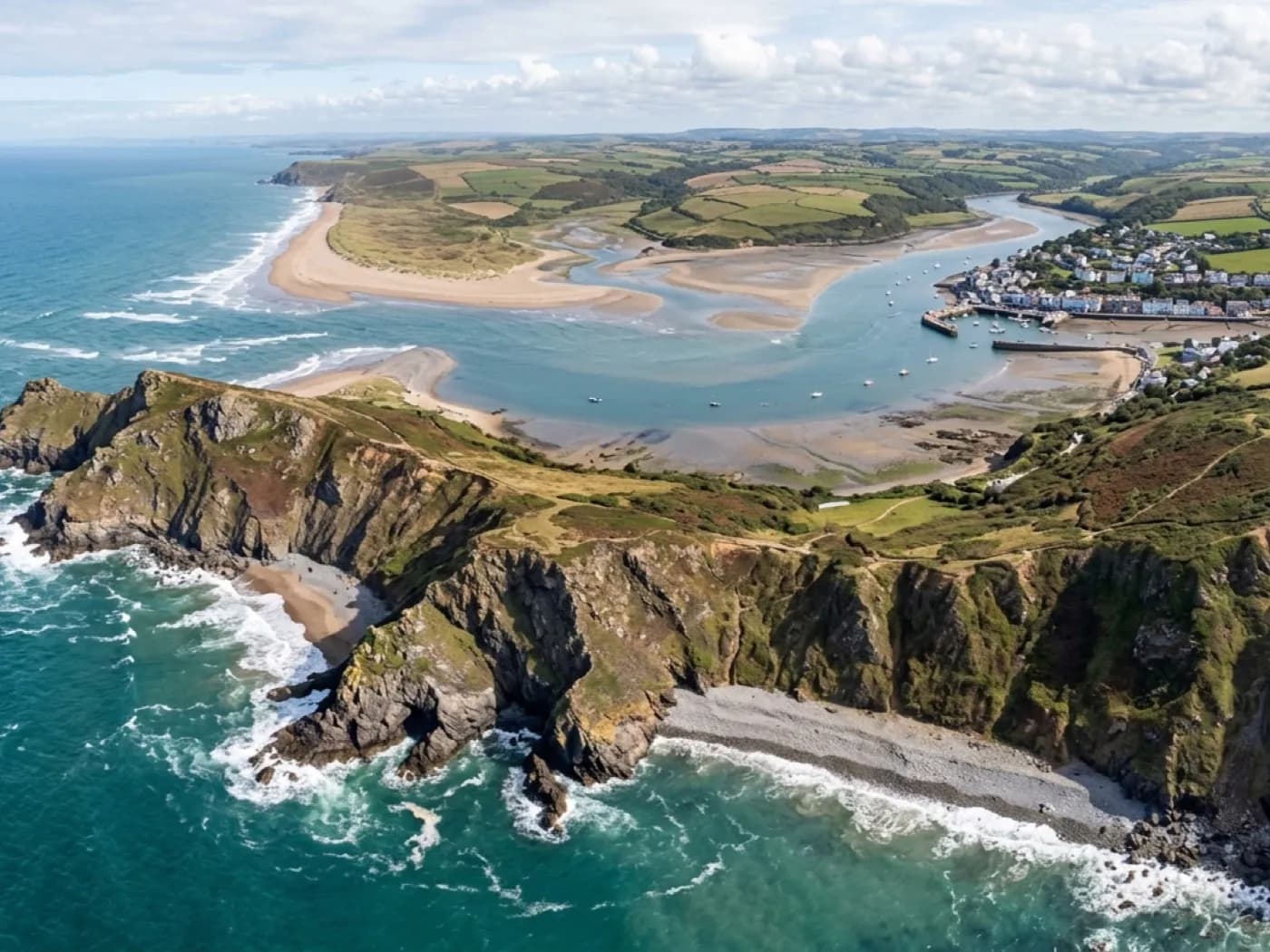
Where we fly
Questions
Elsewhere
Call now
Tell us the address and what you need looking at. Sam Hembury will come back with a fixed price and the next available slot.