Somerset · TA20
Drone survey in Chard
At over 120 metres up, Chard is the highest town in Somerset, and that height matters more for booking a survey here than the 45 minute drive from Exeter.
The highest town in Somerset
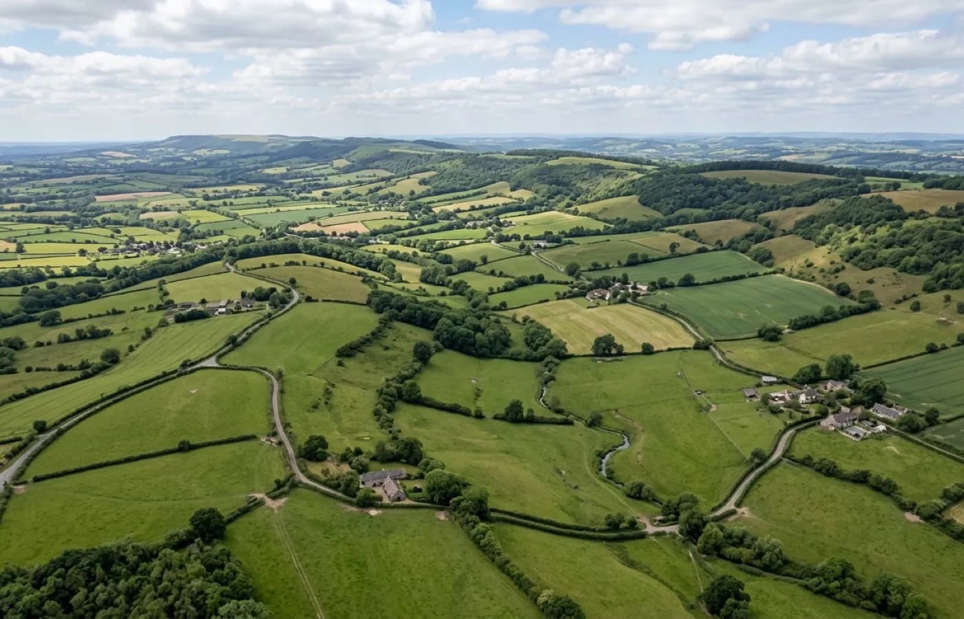
Chard sits on a ridge above the Axe and Isle valleys, high enough that streams either side of the main street run to opposite coasts, and that height means the town holds wind, snow and frost longer than the lower ground around it. It takes around 45 minutes to reach from Exeter via the A30 and A303, and it is the extra height, not the distance itself, that is worth building into the timing of a booking here.
Hamstone high street, lace mill terraces
The main street is a long run of Georgian and Victorian frontages, many faced in local hamstone, stepping down the slope with a stream either side of it. Behind that frontage sit rows of terraced housing built for the town's lace mill workers, and beyond those, more recent estates spread out over the lower ground. A survey booked on the high street itself is usually about an older, more individual building; one further out is more likely to be part of a much larger run of similar housing.
Chard Reservoir and the ground around Snowdon Hill mark the edge of the built-up area, and Forde Abbey sits just outside the town too, so a fair amount of what surrounds Chard is open countryside rather than more town. The change from streets to open ground is fairly abrupt on the western and southern edges, useful to know when a booking covers a property right on that boundary.
Booking around ridge-top weather
Being exposed on every side at that height means Chard can be holding frost or a dusting of snow on a morning when Taunton, twenty minutes down the hill, is clear. It rarely rules a day out altogether, but it is worth a quick check of the forecast for the town itself rather than assuming conditions will match the rest of Somerset.
A market town with plenty of its own history to look after
Chard Museum sits on the high street among the buildings it documents, and the town's industrial past runs deeper than the lace mills alone, since Chard also has a claim to some of the earliest powered flight in Britain, tried out over the fields nearby long before any drone took to the air above them. None of that changes what a survey covers, but it says something about a town that has been adding new building stock onto old for a very long time, which is exactly the pattern that shows up street by street today.
A booking on the ridge itself is generally a shorter flight than one down towards the reservoir or Forde Abbey, simply because the built-up area sits close together at the top, so travel time between the drive from Exeter and the flight on site tends to favour a town-centre booking over one out on the edge.
Behind the survey
What Chard clients are actually buying
Devon based, county wide
Working from Exeter and covering the whole of Devon, plus the nearest towns across the Cornwall, Somerset and Dorset borders. Travel is inside the fixed price.
CAA registered
Operator ID and Flyer ID held, plus the A2 Certificate of Competency. Every flight is planned to the rules that apply to the site, wherever in the coverage area it is.
100 megapixel camera
A DJI Mavic 4 Pro with a Hasselblad camera and 6K video. The resolution that lets a survey stand off a building at a safe distance and still show real detail.
Insured with Coverdrone
Full commercial cover for the operation. Certificates go to managing agents, committees and insurers as a matter of course.
Nearby
Also covered around Chard
- TauntonAs the county town of Somerset with new estates growing on every side, Taunton generates a steady flow of its own survey demand, and the M5 puts it under 40 minutes from Exeter.
- BridportBridport's Georgian streets were laid out wide for the town's old rope walks, and a survey there, about an hour from Exeter, reaches out towards West Bay too.
Call now
Book a survey in Chard
Send the address and what is worrying you. Sam Hembury will come back with a fixed price and the next slot that suits the weather.